|
February 2-3, 2026: Winter Storm Warning! (18 Photos) |
|
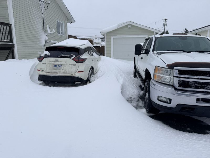
Less than a week after our last significant snowstorm we were forecast to receive a doozy tonight! The storm system moved in around 2am on February 2nd beginning with light snow and light winds forecast to pick up throughout the early morning hours.
After quite a few hours of stormy weather, it finally let up around 1:30pm. Snowfall rates subsided while winds remained strong leaving us with over 30cm of snow on the ground. This was forecast to be a two part-er with the second system moving in later this evening.
Most people myself included took advantage of this lull to get our driveways cleared out. I didn't bother to clear the patio or basement doors at this time as they would just fill right in again overnight.
Thankfully, like the last storm, snow was dense but dry as we didn't receive any rain with this system.
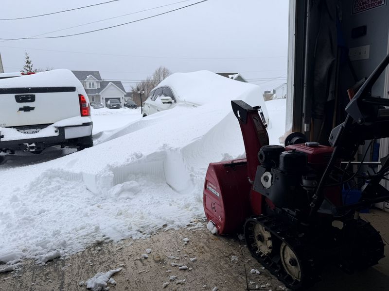
Around 4pm snowfall returned although thankfully with a lot less wind than this morning.
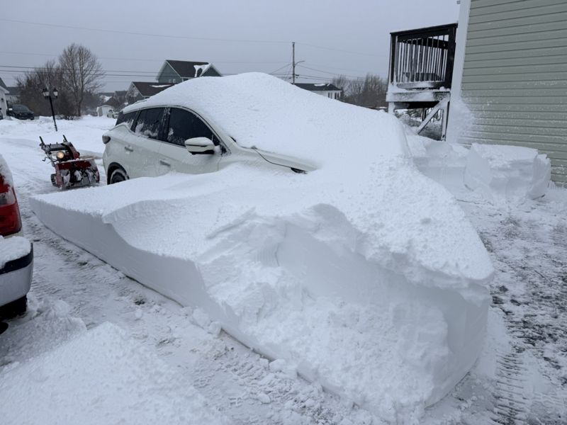
This snow was not heavy, but, was incredibly sticky. It latched onto vehicles, buildings and even traffic lights like glue!
With another 16cm on the ground our grand total for this two day system was a solid 46cm snow as measured at the airport. Areas at higher elevations received even more!
Most businesses in town had a delayed opening which was great as it allowed us to get everything cleared up after this back to back storm!
Feeling much better today, I got everything around the house well cleared up. The trailer is cleared out, basement stairwell shovelled out and the back deck cleared off.
I finished out my day by hooking onto the trailer and retrieving my sled from storage. It's been parked since the spring of 2023, it turned over enough to replace stale gas in the carbs with fresh and fired right up. I'm really looking forward to some outdoor adventures coming up soon!
Cheers, MIKE
Copyright © 2025 Michael Smith |